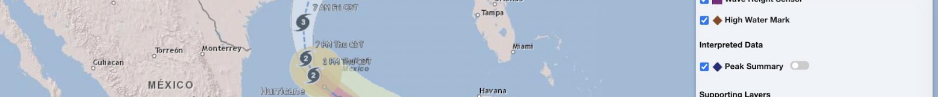
USGS Flood Event Viewer
Explore hydrology and meteorology data related to specific flood events from 1888 through the present. This viewer is the public data discovery component of the USGS Short-Term Network (STN) database. Users can select a historical event such as a hurricane landfall and flood and examine data related to it. Users can also view real-time data from a range of STN monitoring stations.
Application developersare encouraged to visit the STN Web Services Documentation Page for more information, including full documentation of available endpoints and examples.
Access to the STN data in the Flood Event Viewer is enabled through the USGS Web Informatics and Mapping (WIM) group. Their projects range from full-featured database applications to limited-scope data visualizations. Code for WIM's public projects are available via its GitHub.