Home
Main navigation
  • Mega Menu Icon
    Image
    case study icon
    Browse Case Studies
    • Filtered by hazard
      • Drought
      • Extreme Heat
      • Coastal Flooding
      • Flooding
      • Wildfire
    • Filtered by asset
      • Agriculture
      • Economy
      • Energy
      • People
      • Natural Areas
    • Workforce Development
      • American Samoa
      • Boston
      • Central Texas
      • Coastal Ohio
      • Los Angeles
      • Louisiana
      • Puerto Rico & USVI
      • St. Paul Island
  • Mega Menu Icon
    Image
    data and tools icon
    Browse Tools
    • Filtered by hazard
      • Drought
      • Extreme Heat
      • Coastal Flooding
      • Flooding
      • Wildfire
    • Filtered by asset
      • Agriculture
      • Community Services
      • Critical Facilities
      • Economy
      • Energy
      • People
      • Property
      • Natural Areas
      • Transportation
      • Water Infrastructure
  • Mega Menu Icon
    Image
    funding icon
    Browse Funding & Capacity
    • Funding & Building Capacity
    • Search for Funding Opportunities
    • Grant Development Resources
    • Overview
    • Get Started
    • Understand Exposure
    • Assess Vulnerability & Risk
    • Investigate Options
    • Prioritize & Plan
    • Take Action
  • Mega Menu Icon
    Image
    popular resources icon
    Browse Popular Resources
    • Announcements
    • Steps to Resilience
    • New to the Toolkit?
    • Help Desk
    • Glossary
    • Case Studies
    • Tools
    • Trainings
    • Options Database
    • Organizations
    • Workforce Development
    • Topics & Sectors
    • Regions
    • Hazards
    • Assets

Breadcrumb

  1. Home
Image
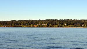
  • April Leigh. Used with permission

  • Suquamish Build Resilience to Ocean Acidification Through Education
    Image
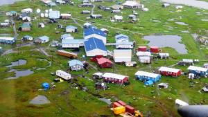
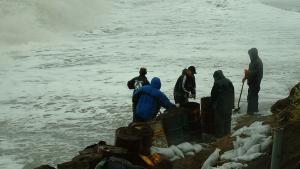
    Newtok Village in Need of Urgent Relocation
    Newtok to Mertarvik
    Image
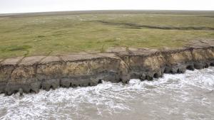
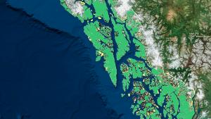
  • Alaska ShoreZone

  • Assessing the Timing and Extent of Coastal Change in Western Alaska
    Image
    Data Basin
    Image
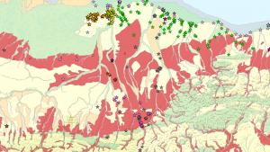
    Ecological Mapping and Permafrost Database for Northern Alaska
    Image
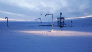
    Utqiaġvik (Barrow) Sea Ice Radar and Webcam
    Image
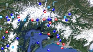
    Alaska historic extreme events library
    Image
  • Millie Hawley, President, Native Village of Kivalina. Used with permission

  • Relocating Kivalina
    Image
  • Billy Adams. Used with permission

  • Looking to the Future on Alaska’s North Slope
    Image
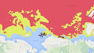
    Arctic ERMA® (Environmental Response Management Application)

    Pagination

    • First page « First
    • Previous page ‹ Previous
    • …
    • Page 104
    • Page 105
    • Page 106
    • Page 107
    • Current page 108
    • Page 109
    • Page 110
    • Page 111
    • Page 112
    • …
    • Next page Next ›
    • Last page Last »
    Subscribe to

    Main Menu
    • About
    • FAQ
    • Contact
    • Acknowledgments
    • Sitemap
    Latest
    • Funding Opportunities
    • Glossary
    • Announcements
    Partners
    • climate.data.gov
    • USA.gov
    • NEMAC
    Toolkit
    • Case Studies
    • Tools
    • Funding
    • Steps to Resilience
    • Popular Resources

    Climate Resilience Toolkit home link

    Required Footer Links
    • NOAA Privacy
    • Accessibility
    • FOIA
    • Information Quality
    • No-FEAR Act
    • Ready.gov
    • USA.gov