Image
Tool
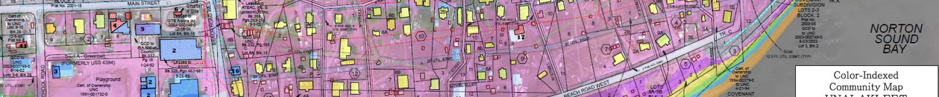
Color-indexed elevation maps for western Alaska
When an extreme storm is forecast for coastal Alaska, local community leaders and emergency managers wonder "How high will floodwaters reach?" and "Where are negative impacts most likely to occur?" These maps give community leaders and emergency managers a common and clear reference to communicate with one another and with the National Weather Service.
These color-indexed maps merge best-available datasets into a tool that can streamline communication about forecasted water levels, local elevations, and potentially impacted infrastructure in advance of storm events that may cause coastal flooding.
Maps are available for the following communities in Alaska:
- Brevig Mission
- Golovin
- Hooper Bay
- Nome
- Kivalina
- Nunam Iqua
- Shaktoolik
- Shishmaref
- Teller
- Toksook Bay
- Tununak, Alaska
- Unalakleet
- Wales