Image

Image
Tools & Data
Looking for climate data? Need information to compile a Climate Vulnerability Assessment or Adaptation Plan?
Use the search field or filters on the left to explore our catalog of digital tools for building climate resilience.
Featured
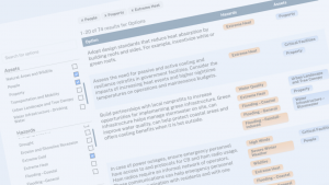
1 - 15 of 522 results for Tools
Image
Image
Image


Image
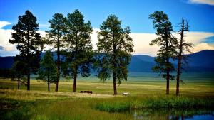
Valles_caldera2 by USFS, Interior West FIA (Forest Inventory and Analysis). Used via Public Domain, via Flickr.
Image
Image
Image
USDA - NRCS