Image

Image
Tools & Data
Looking for climate data? Need information to compile a Climate Vulnerability Assessment or Adaptation Plan?
Use the search field or filters on the left to explore our catalog of digital tools for building climate resilience.
Featured
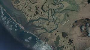
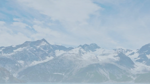
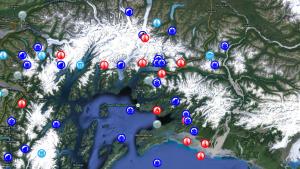
16 - 30 of 522 results for Tools

Image
Image
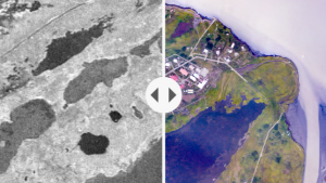
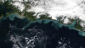
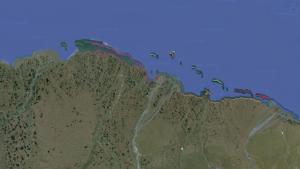
Alaska Division of Geological and Geophysical Surveys


Image
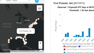
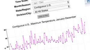
NOAA